
Our Services
They do great work. I have used them for years. They are the best surveyors in the Dallas/Fort Worth area.
-Lee
-Lee
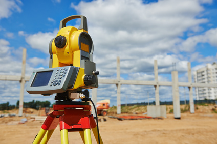
Topographic Surveying
A survey that measures the horizontal coordinates as well as the elevation of points on a particular piece of land, and presents them as contour lines and existing conditions such as structures, paving, drainage conditions and all improvements to the property on a plat.
Start Your Free Estimate